Next time you watch a flock, or mummuration of starlings swoop high and low in perfect unison, or a flock of geese migrating to new feeding grounds, imagine a similar scene but with drones instead of birds. It might sound far-fetched but it’s likely to be a reality in the not-too-distant future, as scientists have been working on developing software inspired by nature in order to allow a swarm of unmanned drones to carry out aerial surveys.
Swarming drones use teamwork to accomplish tasks
Souma Chowdury, Assistant Professor of Mechanical and Aerospace Engineering at the University of Buffalo has been programming a swarm of drones to quickly map the extent of an oil spill.
His paper, titled ‘A swarm-intelligence approach to oil spill mapping using unmanned aerial vehicles’ explains the process behind using a swarm of five drones to map an oil spill of just over a kilometer wide. Working as a team, this took the drones just nine minutes to accomplish.
In order to do this, Chowdury and students Zachary Ball and Philip Odonkor programmed the drones to record if they were flying over oil, water or a combination of both. The drones then share this basic information with the rest of the swarm. Sharing rudimentary information such as, rather than picture or video files, ensures that the cost is kept down, with Chowdury saying “this task can be accomplished by off-she-shelf drones that cost under $1,000. All they need is to have a simple drone-mountable camera system and use our software.”

Souma Chowdhury, assistant professor. Department of Mechanical and Aerospace Engineering
Additionally, by sharing information, the drones don’t cover the same ground twice, leading to quicker results. Each drone takes an observation every five seconds and when they start to run low on power, they return to a nearby boat to be replaced with a new drone which already has all the information regarding which locations of the spill have already been covered.
Fly like a bird
An important consideration for drones flying in close proximity with each other is avoiding collisions. In separate research carried out by the University of Queensland, looking at how budgerigars avoid collisions in mid-air, they discovered that birds appear to have simple rules which all members of a flock obey. Each bird veers to the right at the same time as changing its altitude in relation to the other bird. This work, carried out by Schiffner, Perez and Srinivasan suggests that it may be possible to employ this technique in algorithms for collision avoidance software in drones and other aircraft.
Protecting our environment
One of the most common techniques for cleaning up oil spills is to burn the oil in-situ, removing it before it has a chance to travel with ocean currents or sink. In order to carry out in-situ burning it’s important to respond quickly to any oil spills, in order to minimize environmental damage. Employing a team of drones to quickly assess the size of the oil spill could help ensure a speedy response.
In the future, technology such as swarming drones could be combined with new and more efficient ways of carrying out in-situ burning of spilt oil, such as the Flame Refluxer developed by scientists at the Worcester Polytechnic Institute in Massachusetts.
Chowdhury also suggests that it’s entirely possible that this exciting new technology could also be used to map other events, such as forest fires or flooding. With thermal imaging cameras the drones could also be used to search for survivors trapped by earthquakes or other natural disasters.
A key point is that a team of drones could accomplish this task in less time, with greater efficiency and a lower cost than the alternatives currently used, such as manned flights or ground surveys. When fighting natural disasters, time is always of the essence so these drones could truly be a game-changer when it comes to saving both our environment and those affected by natural disasters.
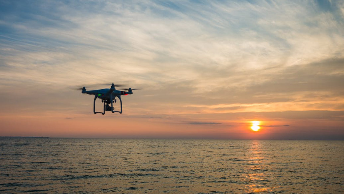
Top image: Black Quadcopter Drone Flying on the Sea Shore Under Blue and White Sky during Sun Set (Public Domain)


No comment